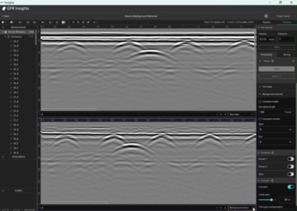
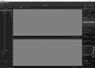
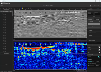
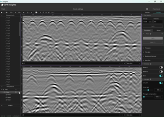
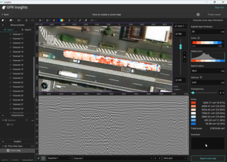
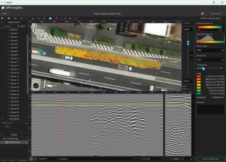
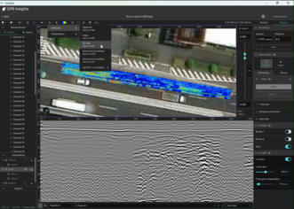
Getting started with GPR Insights
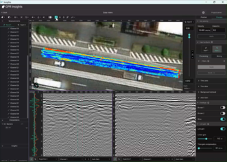
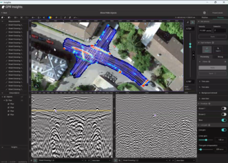
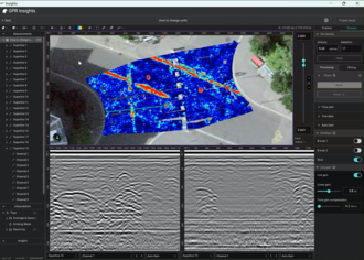
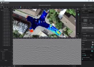
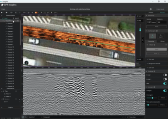
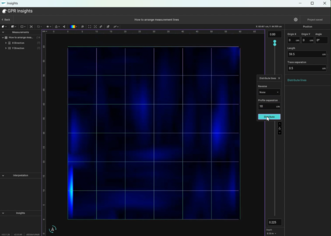
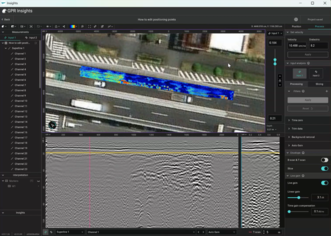
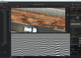
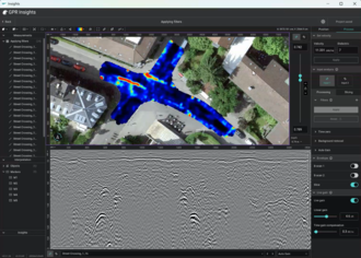
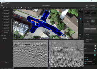
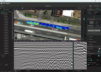
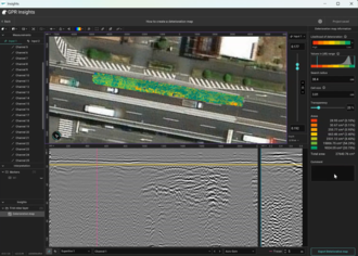
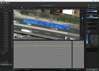
GPR Insights is an intelligent software with an intuitive workflow for advanced post-processing, visualization, analysis and interpretation of ground penetrating radar data. Web-based or desktop on Windows.
Two ways to run it
The same functionality is available in both modes, the only thing that changes is where the processing happens.
| Version |
What you need |
| Web |
No installation, runs in any browser on any OS. Requires a stable internet connection (above 100 Mbps recommended). Bookmark: workspace.screeningeagle.com/app/gprInsights |
| Desktop |
Windows 10 or newer, 64-bit. Internet required only to launch and download measurements. |
Supported devices & formats
- Every Proceq GPR product: GP8000 / GP8800 / GP8100, GS8000 / GS9000, GM8000.
- Third-party single- and multi-channel devices from different manufacturers plus the industry-standard SEGY format.
Activating your license
After subscribing, you'll receive a PDF with instructions. Web licenses activate from Workspace → My Subscriptions → Activate. Pro licenses must be activated for the first time from the desktop app.
Web ↔ Desktop session rules
Only one active session at a time. To switch from web to standalone, end the active session first ("End Session" button at the top right of the web app or from within the standalone)
Projects created on web are not auto-synced to standalone, and vice versa. Download or upload the project explicitly to work on it on the desired version.
The GPR Insights interface
Two screens: the Project list and the main workspace with its six bounded regions.
The Project list
The home screen you land on after starting the software. Create a new project by clicking New project. Each project tile gives you rename, share and delete actions. User preferences (units, colormaps, processing presets) can be set from the User Preferences gear button.
The main workspace
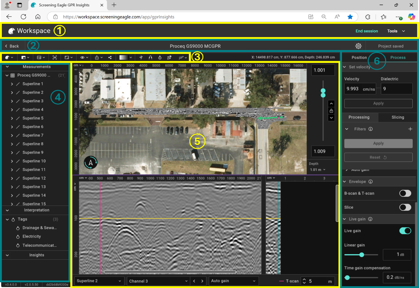
Opening a project will load the main interface screen, split into six regions.
| Region |
Items |
| 1 · Workspace bar |
End Session button and Share session and support tools. |
| 2 · Top panel |
Project name, saving status and user preferences. |
| 3 · Toolbar |
Quick access to most-used tools — View modes, Add Tags, Create Object, Set Velocity, Analytics, 3D view, Colormaps. |
| 4 · Left panel |
Project structure: Measurements, Interpretation, and Insights. |
| 5 · Data view |
Main visualization window with A-scans, B-scans, T-scans and slices. |
| 6 · Right panel |
Process and Position editing tabs. Also contextual settings based on selection (a tag, an object, an AI map), relevant settings open here. |
The in-focus window
Inside the data view, the window outlined in magenta is the "in-focus" window. Toolbar buttons act on it and different tools will show based on the selected window. Click on any window to give it focus.
Position & topographic correction
If the data is in the wrong place, objects will also be marked at incorrect locations. Position tools live in the Position tab with separate workflows for geolocated and non-geolocated surveys.
Non-geolocated data
For surveys collected without GPS (commonly indoors). Set the survey origin and the grid orientation manually in the Position tab. The imported grid can be quickly organized by distributing them based on the profile spacing or individual X, Y offsets and angles.
By clicking on an individual line, a “Position” section will appear on the right panel, from which we can change the X, Y origin and offset of this specific measurement line and its direction. By clicking on the “X Direction” or “Y Direction” in the Measurements section, the Position section will appear on the right panel from where the “Distribute lines” feature can be used to distribute the lines automatically by setting the profile separation.
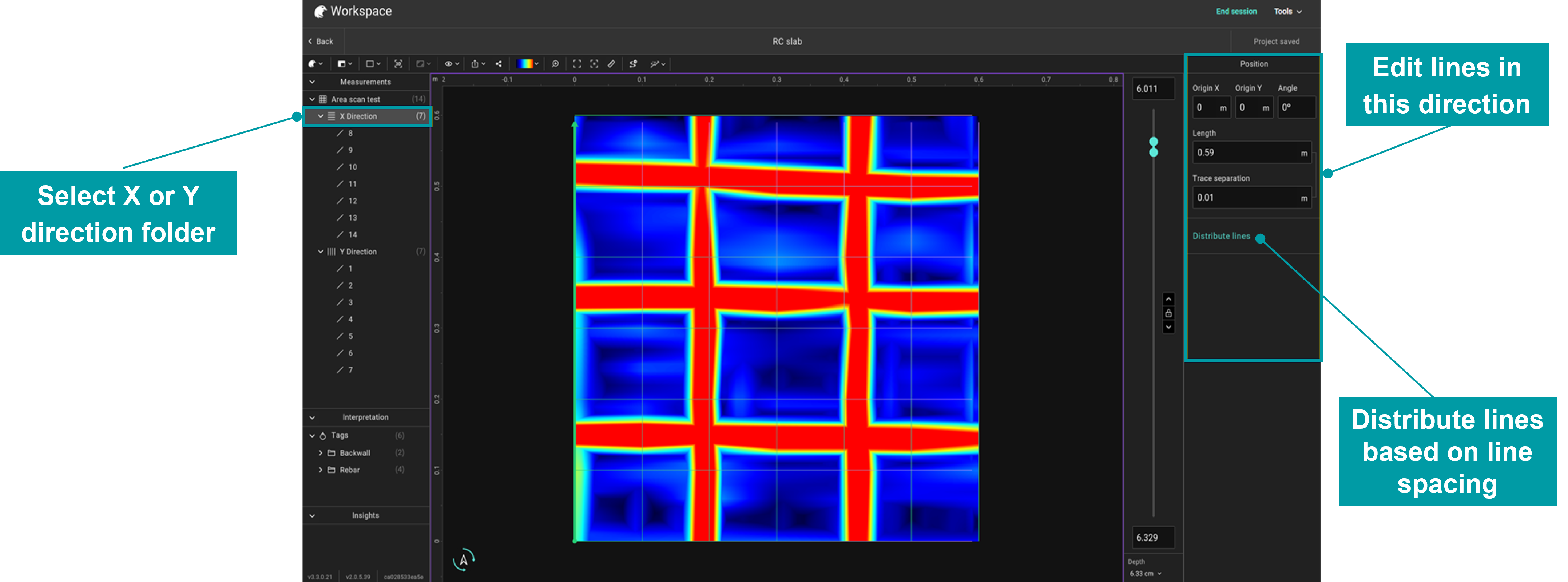 Select X or Y direction folder and distribute lines from the right panel.
Geolocated data
GPS antenna offset
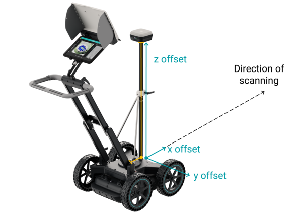
The GPS antenna usually has an offset from the GPR antenna. Its vertical (z) offset is always present. Its horizontal (x, y) offset depends on how the antenna is mounted. Set them under Position → GPS antenna offset by entering the measured distances. For our probes, these are automatically set at project creation. Note that the X and Y offsets can also take negative values for some probes (e.g. GM8000) depending on where the GPS antenna is mounted.
Z offset accounts for the height of the GPS antenna above the GPR probe. X / Y offsets correct for any horizontal mounting offset between GPR and GPS antennas.
Filtering noisy GPS
GPS quality varies across a survey especially across large areas. Fewer satellites and lower signal quality both translate to imprecise positioning. Three filters can filter out the unreliable points:
- Minimum satellites:
Discards points collected with less number of satellites than your threshold. With more satellites in view, the fix is more reliable.
- Minimum signal quality:
Four ascending levels: Single < DGPS < Float < Fixed. Set a level and anything below is dropped. Fixed is the best and typically achievable with RTK corrections.
- Latency correction:
Shifts the GPR data in time to align with the GPS stream when there's a time lag between the two. Lag of even a fraction of a second can offset your data by several centimetres.
Manual trajectory editing
Trajectories can be edited manually for each line. By selecting the line from the Measurements section, the Edit line option appears on the toolbar, which can be used to adjust the trajectory manually. When clicking on the icon, the trajectory line with points appears, which can be adjusted by clicking and dragging one or multiple points to the desired locations. Each point can be restored to its original location at any time, and you can disable any of the points defining the trajectory. Click Done on the toolbar to apply.
Topographic corrections
GPR data is often collected along sloped or uneven surfaces. Without correction, the subsurface features appear deeper or shallower than they really are. Topographic correction adjusts the data to account for surface elevation, so depths are interpreted correctly.
Topo correction is available only in Advanced slicing. Switch via Process → Slicing first and then choose a mode:
| Mode |
What it does |
When to use |
| Warped |
Bends the volume of time slices to follow the terrain. |
When you need to preserve the true geometry of the surface in 3D views. |
| Level plane |
Topographically corrects the B-scans first, then makes flat horizontal slices. |
When you want clean horizontal slices at constant depth below the surface. |
To see the result, enable the 3D view from the toolbar after applying topo correction. Vertical exaggeration (also on the toolbar) often helps when terrain variations are small.
Coordinate systems
GPR Insights isn't limited to a single coordinate system. Click Edit at the top of the Position tab to switch projections:
- UTM zone
Pick the UTM zone that covers your survey area. Default for most international work.
- Country-specific
Choose a national coordinate system that represents better the survey area in your country.
All georeferenced export formats from GeoTIFF, DXF, Shapefile and others can be exported at the desired coordinate system.
Processing filters
All filters are added from the Process → Processing tab by clicking the + next to Filters. Drag to reorder and click Apply to execute the pipeline, nothing runs until you do.
Set velocity (via hyperbola fitting)
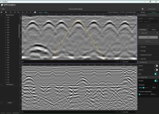
Before applying gain or migration, set the EM-wave velocity for the medium (e.g. concrete, soil). Enter the velocity or dielectric constant directly, or, if unknown, use Hyperbola Fitting on a B-scan: click Set Velocity in the toolbar, drag the yellow apex onto a real hyperbola, shape it to match, and click Done. The dielectric updates automatically.
Note
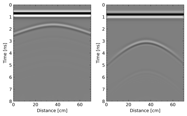
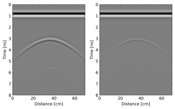
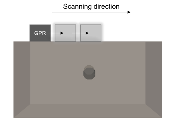
For hyperbola fitting, a hyperbola needs to exist in the data and to give an accurate velocity, the scanning direction must be perpendicular to the long axis of the target (rebars, pipes, etc.).
Time zero
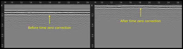
The first filter on almost every dataset. Shifts the data so that t=0 corresponds to the surface reflection. Four methods:
| Method |
How it works |
| Peak |
Sets t0 at the first positive or negative peak after the chosen sample. |
| Threshold |
Sets t0 at the first sample exceeding a user-defined threshold. |
| Crossing |
Sets t0 at the first zero-crossing after the chosen sample. |
| Constant |
Sets t0 at a fixed sample number. |
Wobble removal (dewow)
Subtracts a moving average to suppress DC drift and low-frequency "wow" noise. Window defaults to 10% of total samples per B-scan but should be adjusted based on the low-frequency content to be supressed.
Trim data
Removes all samples after a chosen sample number. Useful when the late-time portion of the window contains no useful signal (just noise).
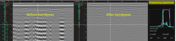
Bandpass filter
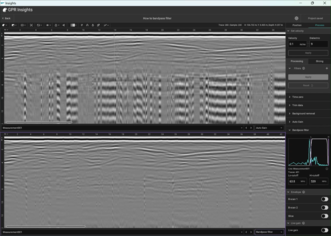
Keep only a range of frequencies and discard anything outside the defined range. Drag the magenta lines on the frequency-spectrum plot or set the low and high requency cutoffs directly. Particularly effective for removing external interference (cellphone, radio).
Background removal
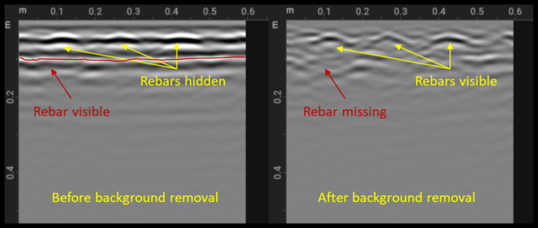
Subtracts the mean A-scan from every A-scan in the line. This filter is used for removing banding noise and the direct air/ground waves. Defaults to using the complete B-Scan length and complete time window. Turn either off to operate over a subset.
Note
Flat-lying reflections of interest (e.g. rebars/pipes parallel to scanning direction, flat pavement layers) might also be partially or fully removed. Always check the raw data before applying this filter.
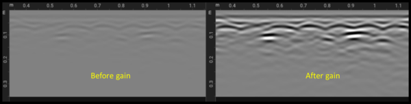
Gain
Two filter options plus a live preview:
- Auto Gain (imported from GPR-Slice): Finds the biggest signals at 16 locations down the trace and linearly interpolates. Three modes: 1. Line by line, 2. Selected line, 3. Average all lines.
- TGC gain: Linear gain (dB) + time-gain compensation (dB/ns) for linear and exponential growth with depth, respectively. Combined into a single gained image.
- Live gain: Used for live visualization only. Same controls as TGC.
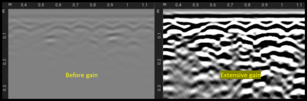
Note
Apply incrementally. Excessive gain saturates the data, amplifies noise, and can erase the amplitude differences that distinguish strong from weak reflectors.
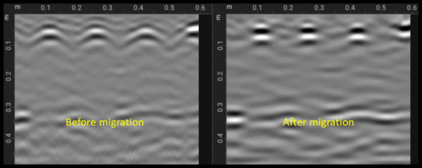
Migration
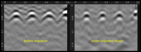
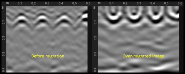
Default algorithm: 2D diffraction-stack. Collapses hyperbolic responses to point reflections at their true spatial location. Requires a good velocity estimate (set it first). The trace-window width should be chosen to the number of traces the hyperbola spans.
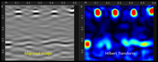
Hilbert transform
Applied commonly after migration. Converts oscillating wavelets (positive + negative parts) into smooth positive-only envelopes which are much easier on the eye for interpretation. By default uses a rainbow colormap.
M&H filter
Migration + Hilbert in sequence as one combined step. Usually used for single channel reinforced concrete inspections.
Filter presets
Save any pipeline as a named preset (Save button in the Filters section) so that you have to create it only once and load it into other projects via Load after. Manage all presets in User Settings → Processing.
Slicing
Slicing creates top-view depth images from your line scans. Two modes: Live Slice for real-time iteration and Advanced for full volume compilation.
Live Slice mode
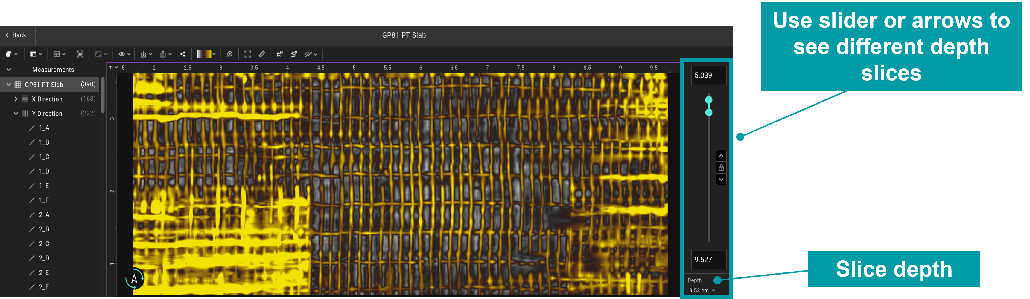
Fast, interactive with live updates. Control depth and thickness with the slider. Drag the two cyan circles for thickness, or lock and use ↑↓ to navigate between slices at a fixed thickness.
Slice window with slider for controlling depth and thickness.
| Setting |
What it does |
| Complete area |
Toggle off to slice only a cropped region; set X / Y limit values or draw a box around the desired area and click Crop. |
| Quality |
Preview / Medium / High (trade-off speed vs. resolution). |
| Progressive rendering |
Increasing level of detail for responsiveness. "Automatic" lets Insights decide. |
| Search radius |
Maximum distance the slicer looks for points to interpolate. Suggested: 1.5 × profile spacing. |
| Filter |
Which processing step the slice displays. Defaults to the last applied filter. |
Advanced mode
Slower, but produces full volumes and more control over the slicing algorithm. Split into two sections.
Slicing
- Window: Complete time window or a defined start/end portion.
- Overlap: 50% recommended for smooth transitions between consecutive slices.
- Number of slices: How many slices to create
- Thickness: auto-calculated from the above (override if you need to).
- Method: Absolute amplitude, Amplitude (for 1-sample slices on dense grids), Squared amplitude, Max (default for concrete).
Gridding
- Method: Inverse distance interpolation (default for subsurface and large surveys) or GP interpolation (default for small-scale concrete and is great for linear features like rebars).
- Cell size: Too large degrades resolution. Pick based on A-scan separation and B-scan spacing.
- X and Y Search radius: Same as in Live but here we can set separate values for each direction.
- Blanking radius: Points further than this from any data are left blank.
- 2D filter: Optional filter to clean gridding noise.
Default behaviour
If Default parameters is on, settings are chosen for you based on the GPR system used for data collection and your profile spacing. Concrete is auto-selected for GP-series sensors; Soil for GS8000, GS9000, GM8000 and third-party. Choosing the wrong one leads to suboptimal results.
Data visualization
Different data representations can be visualized in GPR Insights and also different view modes are available to look at the GPR data. All views in the workspace are linked: double-click on one window and the others will update.
Data representation
| View |
What it shows |
| A-scan / Trace / Wiggle |
Signal amplitude vs. two-way travel time at one location. Display alongside a B-scan by toggling it in the toolbar. |
| B-scan / Radargram |
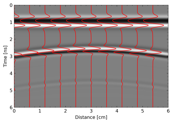
2D image of A-scans stacked along a survey line (y is time/depth, x is distance). |
| Time/depth slice |
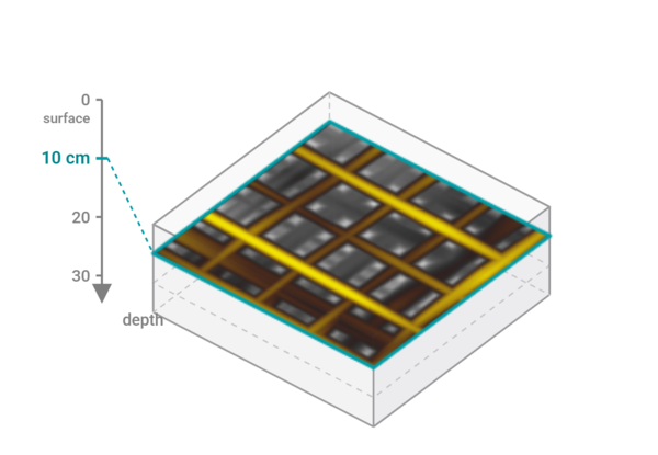
Top-down 2D plan view at a given depth. |
| C-scan |
Cross-section in any plane perpendicular to X, Y, or Z. A slice is essentially a C-scan in the X-Y plane. |
| T-scan |
Multi-channel only. Cross-section perpendicular to the scanning direction, combining a single column of data from every channel. |
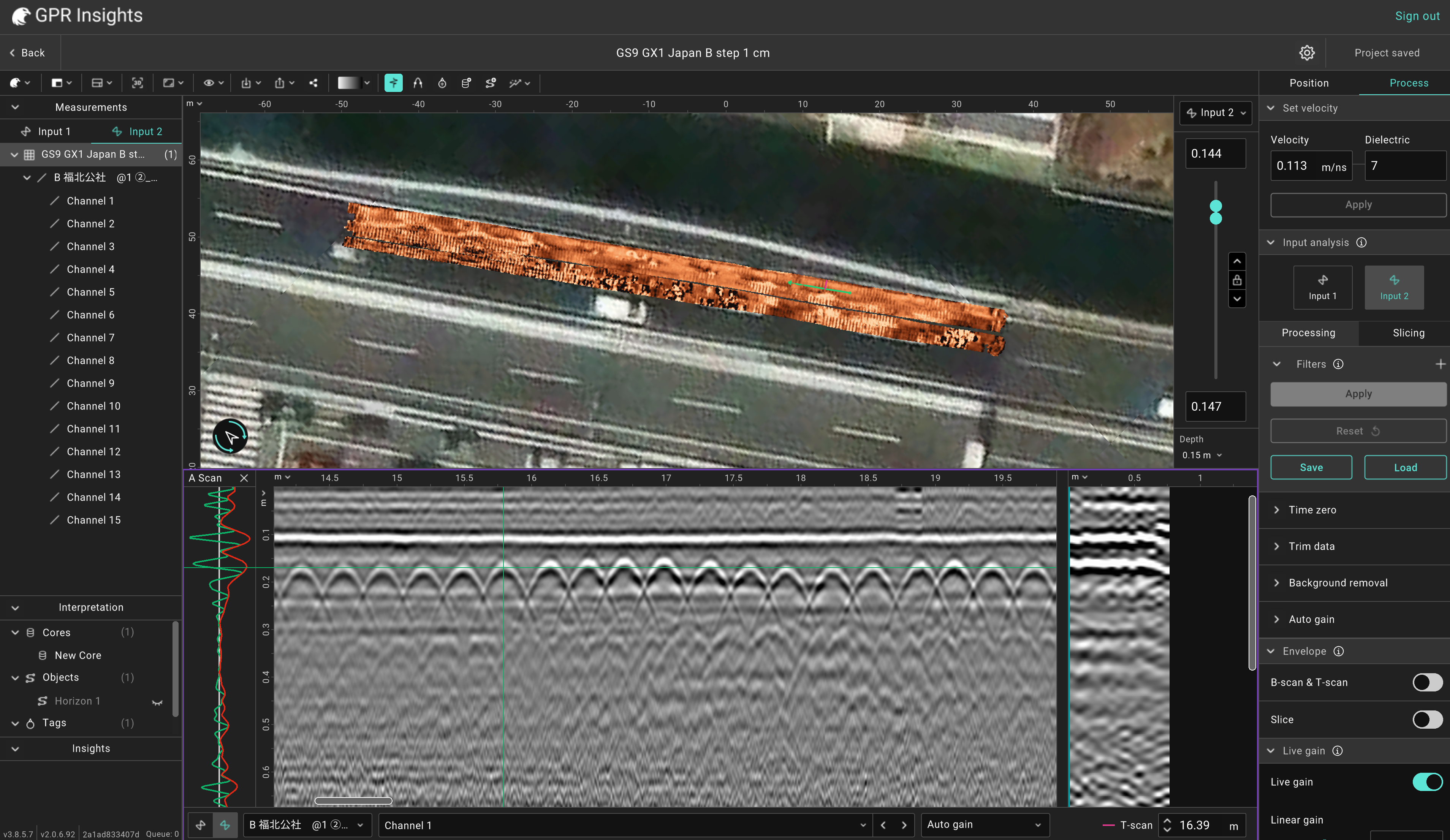
Slices, A-scan, B-scan and T-scan all in a single screen.
Data views
| View |
What it shows |
| 3 views |
Slice on top + two B-scans below (default) |
| 2 views |
Slice + one B-scan. |
| 2 B-scans |
Two B-scan windows top-down for direct comparison. |
| Multichannel |
B-scan + T-scan. Multi-channel only. |
| Layers |
B-scan + Sketch of layered structure. Only available when horizons are defined. |
| Fullscreen |
B-scan + Sketch of layered structure. Makes the active window fullscreen. |
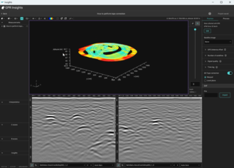
3D Viewer
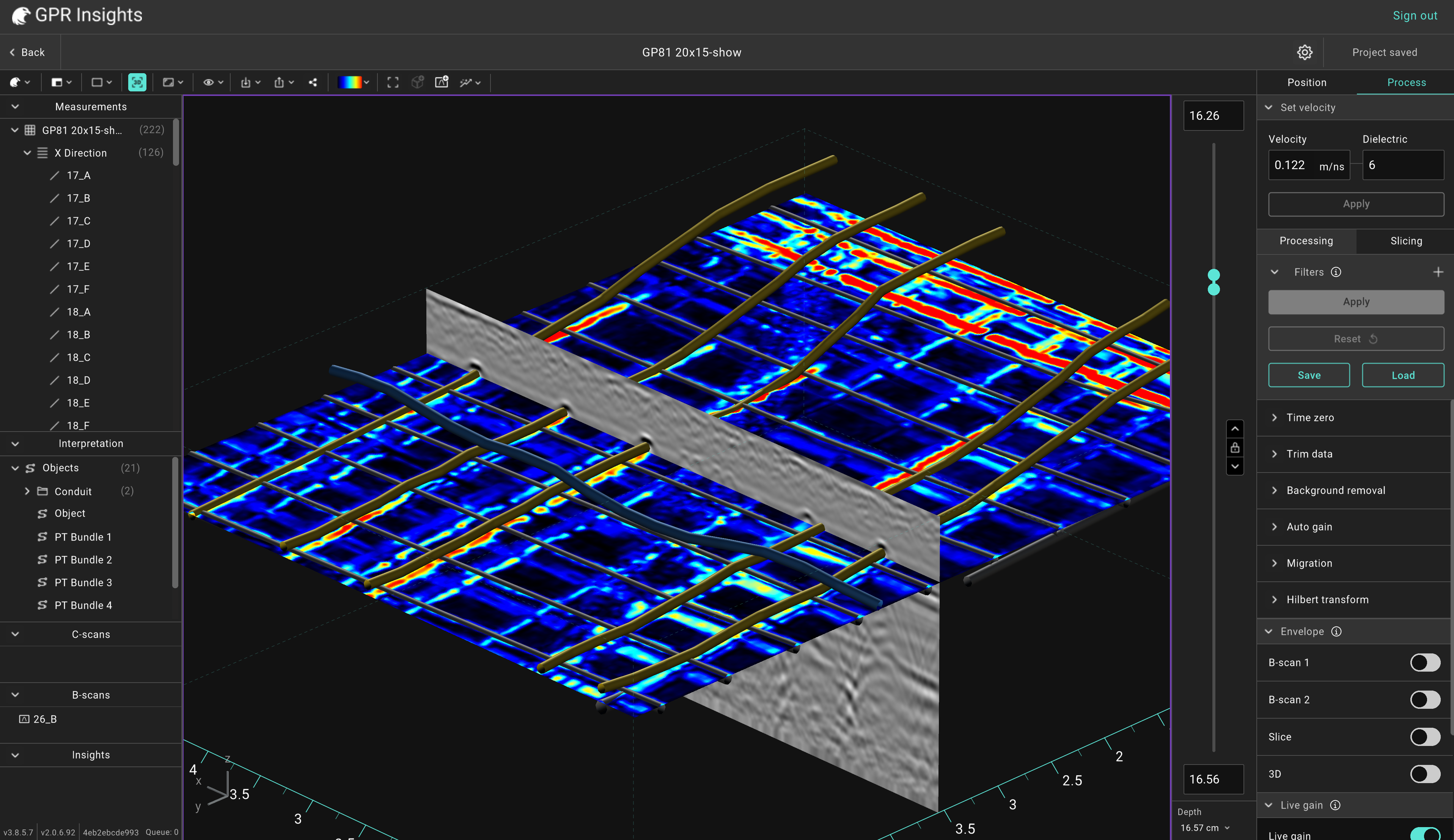
Click the 3D view button to wrap the slice in virtual trenches and a 3D axis. Optional vertical exaggeration makes features shown easier. Right-click the slice in 3D to switch trench shape: Shape / Chair / Box / Trenchless.
In 3D mode you can also add extra B-scans and C-scans into the scene via the toolbar where each can have its own colormap and comments. They appear in the left panel for selective hide/show.
Example of 3D view with objects shown in 3D and B-scans added also to the scene.
Display settings to know
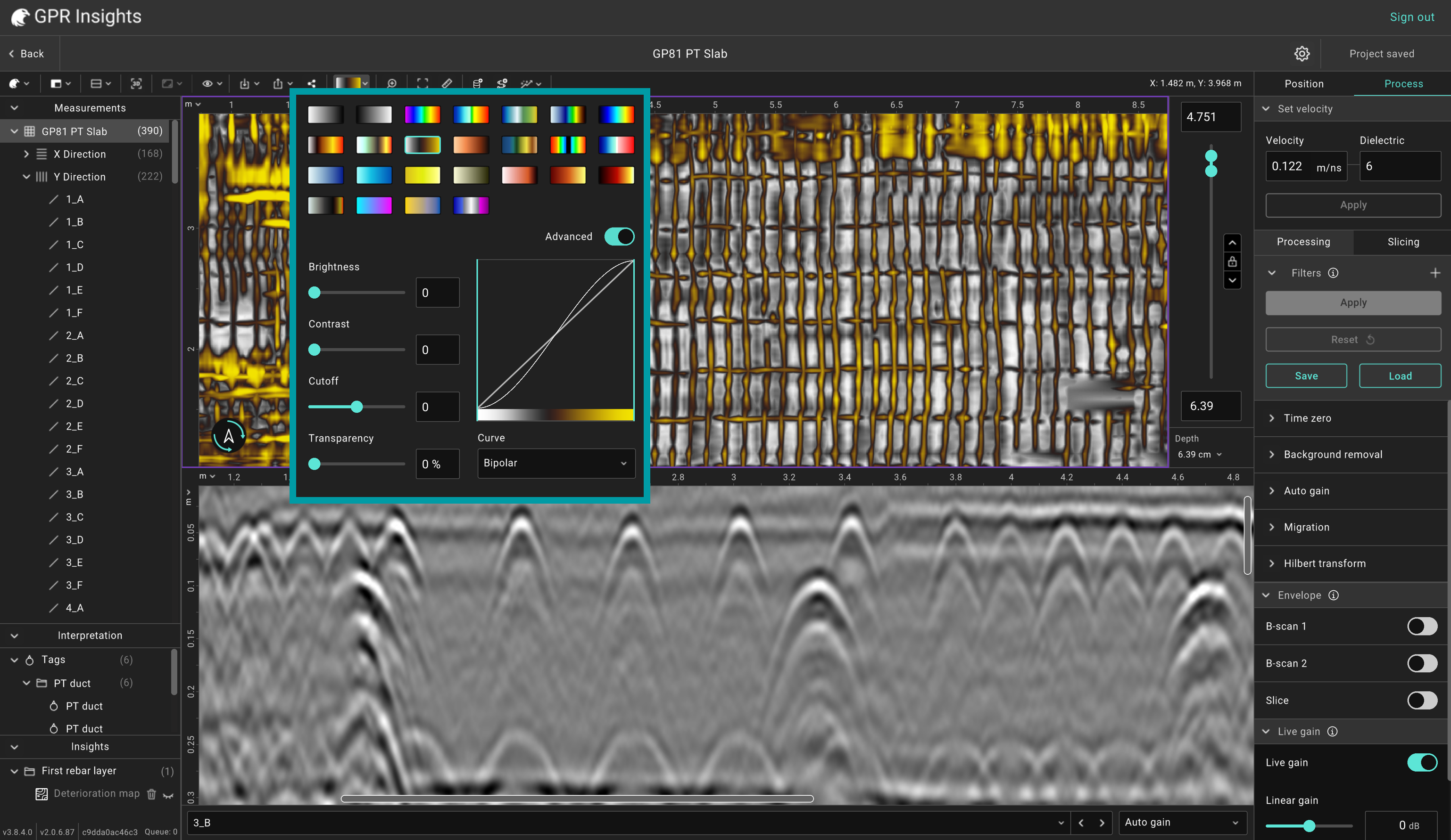
In Insights, there are multiple colormaps available and each window can have each own. Simply click on a window (e.g. slice or B-scan) and then on the color palette tool in the toolbar and select which colormap to use.
Multiple color palettes to choose from for each window and settings.
There are also additional advanced settings available to enhance the slice image if needed:
- Brightness & contrast: Basic image controls.
- Cutoff: Threshold that clips values below the low cutoff. Great for revealing subtle grid features.
- Transparency: Make slice transparent.
- Curves / transforms: Linear (default), logarithmic, bipolar.
Interpretation & AI Analytics
Different tools for marking what you find manually or automatically with AI-based and other automation tools for generating insights fast.
Tags
Mark a specific point in a B-scan. Toolbar → Add tags (or right-click the B-scan). Each tag carries X / Y / depth, a name, an icon, optional diameter value set for cylindrical targets, and comments. Auto-included if tags were added in the field apps during data collection.
Objects
A polyline to sketch the shape of an object can be created. From the toolbar, click Create object, start adding points to draw the feature shape and click Done when finished. Points can be added at either window (slice, B-scan, T-scan). Pick a colour, a 3D texture (Concrete / Metallic / Plastic / Brick) and a cross-section (circular with diameter, or rectangular with width & height). Objects are editable after creation, by selecting the object item and after the Edit object tool from the toolbar.
Two objects created to mark two detected utilities in the GPR data.
AI Analytics — four maps
Open the Analytics menu in the toolbar. All four maps are based on automatic AI-based hyperbola detection in the first rebar layer.
| Map |
What it shows |
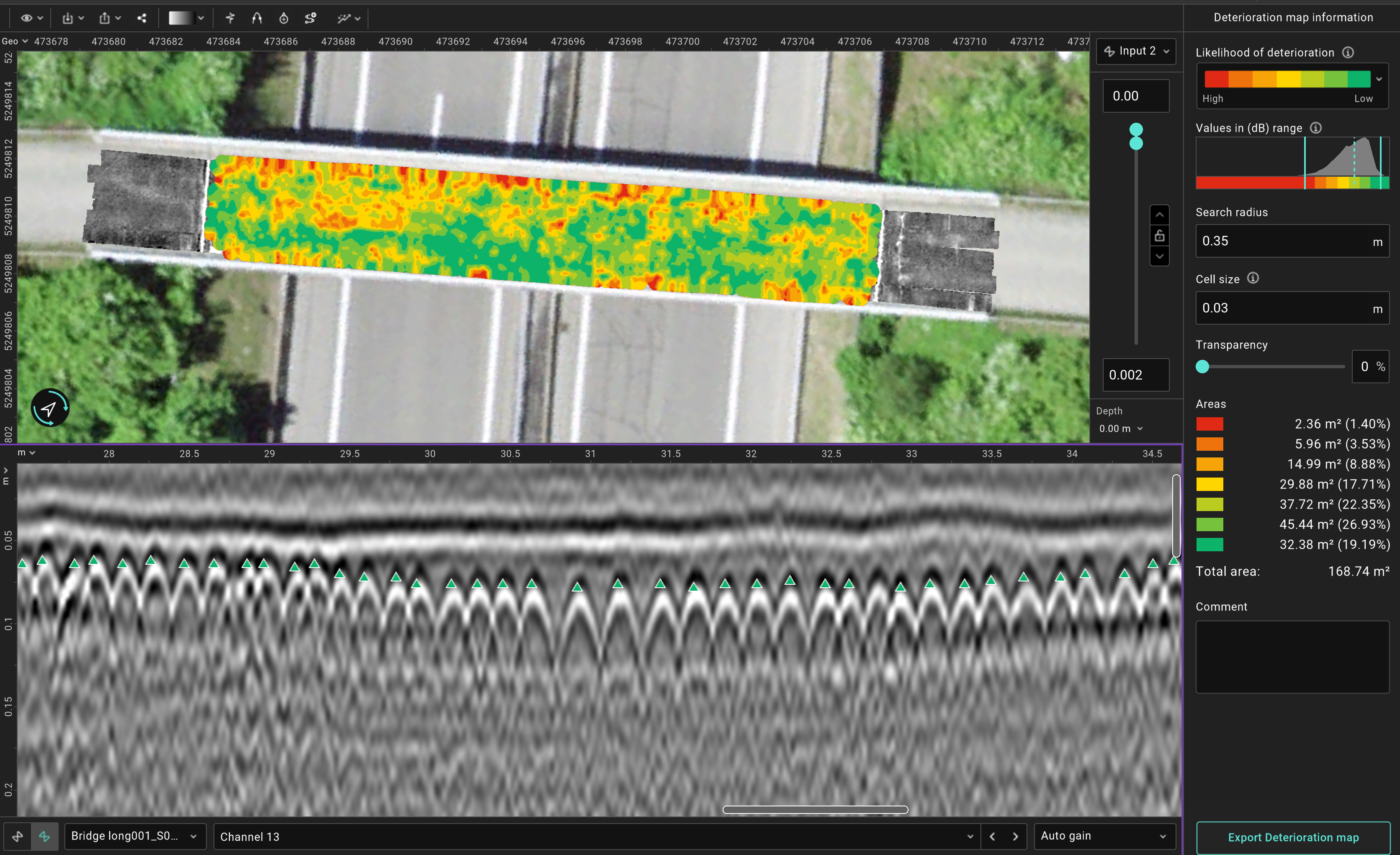
| Deterioration map |
Heatmap of detection amplitudes (dB). Values 8 dB below the maximum recorded amplitude correspond to areas of higher likelihood of deterioration. Follows the ASTM D6087 standard for asphalt-covered concrete bridge decks. |
| Moisture map |
Heatmap of velocity / dielectric values at each detection point. Lower velocity (higher dielectric) → higher likelihood of moisture. |
| Cover map |
Concrete cover values distribution. Insights prompts for asphalt-layer thickness to remove if applicable. |
| Condition map |
Normalized amplitude (0–1) at each detection point. Low values → higher likelihood of deteriorated condition at or above rebar level. |
After generating, select the First rebar layer in the left panel to access settings.
- Confidence range: The confidence range can be adjusted to include only points that the algorithm is certain that they are rebars with a certain confidence level and above. By default this limit is at 30% confidence. Increasing this limit significantly can result in the algorithm being too strict and keeping only a few points as rebar detections. Reducing this threshold to a very low value can result in having multiple false detections.
- Depth range: The range at which to look for rebars. It is recommended to adjust this range per dataset to only the area that contains the first rebar layer
Deterioration map created for a bridge deck with red values representing areas with higher likelihood of deterioration.
Horizon mapping
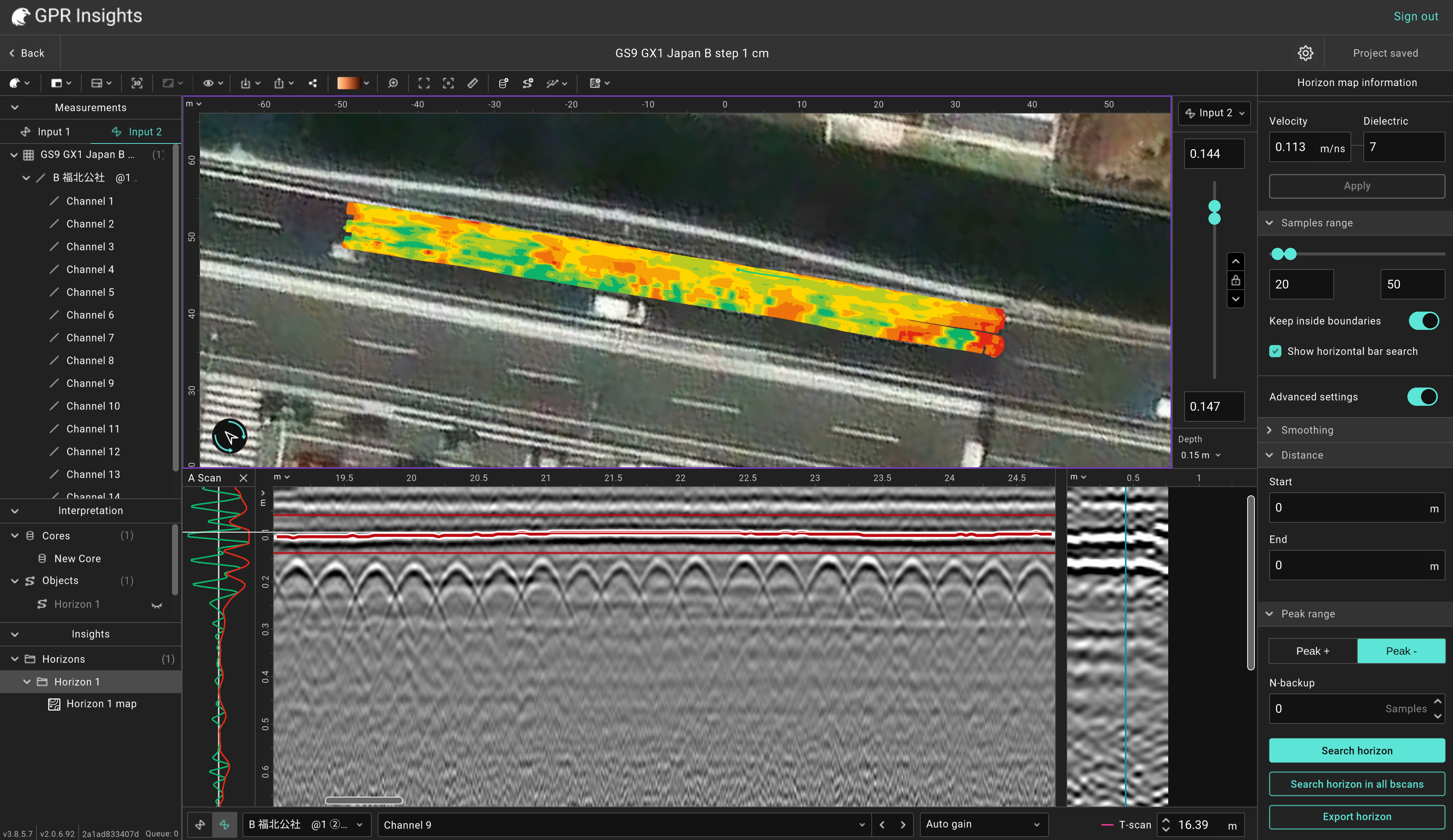
Trace positive or negative peak amplitudes automatically across a B-scan to map subsurface layers. Access from Analytics → Road → Horizon, or right-click the B-scan and pick Add Horizon. Click on the desired interface to start detection. Useful for pavement layers, asphalt thickness, geological strata amongst others.
After generating, select the horizon item from the left panel to access its settings.
- Smoothing filter: A moving average filter that can be used to smoothen a horizon. Increasing the length will result in more smoothing.
- Depth range: The range at which to look for a horizon. It is recommended to adjust this range per dataset to only the area that contains the interface.
- Distance: Set the start and end distance along a B-scan of where to look for a horizon. Insights will search only within those limits and not to the full B-scan.
- Peak: Select to trace either the position (Peak+) or negative (Peak-) peaks. In some cases tracing the positive peaks might work better than the negative peaks and vice versa.
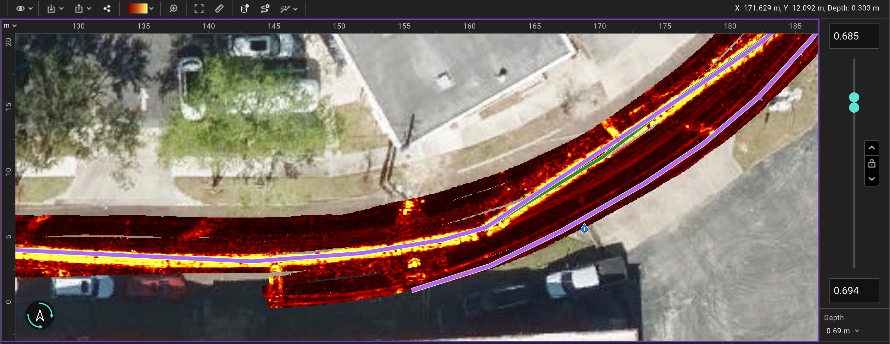
A horizon can be traced at a single B-scan, multiple B-scans or for the full survey area. From these data, certain heatmaps can be created. Select the horizon item from the list and click on the Add map tool from the toolbar to generate any of the following maps.
| Map |
What it shows |
| Depth map |
Heatmap with depth variation of the traced interface. This is the default map created. |
| Thickness map |
Thickness distribution map (depth difference between horizons). |
| Amplitude map |
Signal amplitude variation distribution that can highlight changes in the traced interface (that can indicicate e.g. delamination, higher moisture). |
Example of a depth map for a horizon detected for an asphalt/concrete interface.
Cores
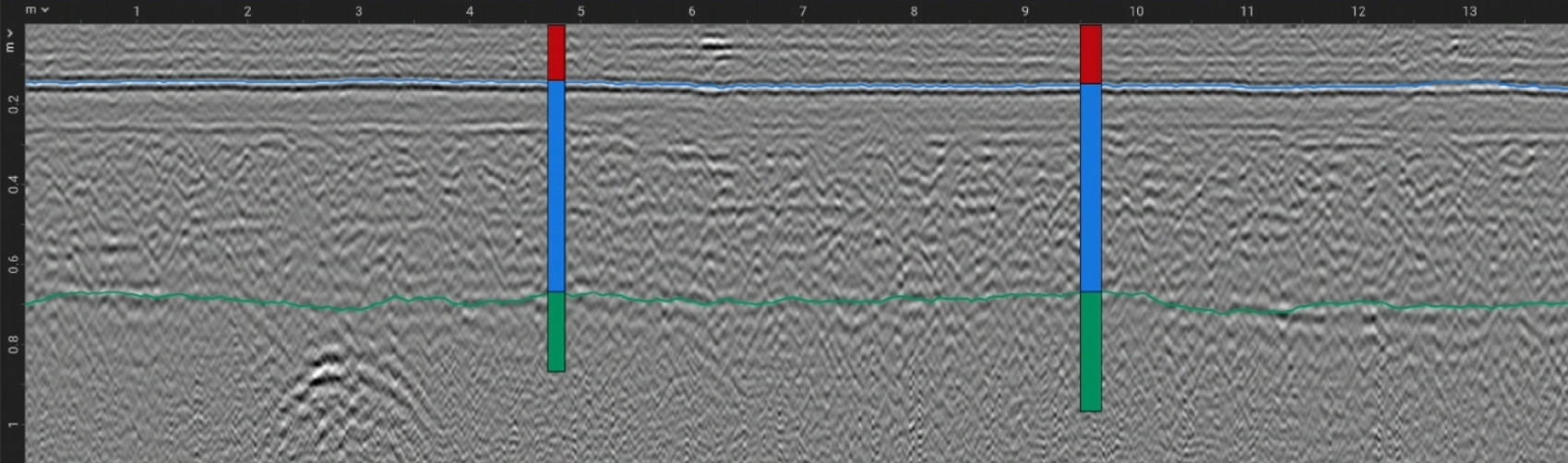
Add a borehole / core record to a specific location and use as ground truth to calibrate horizons and GPR data. This can be accessed from the toolbar with the Add core tool or by right clicking on a B-scan. After clicking to set the core location, a window will appear for setting the core information (name and the diameter of the core can be set along with the information for individual core layers, namely name, color and thickness).
Example of a B-scan showing two imported cores and two horizons.
Export & collaboration
Everything you produce in GPR Insights, either processed GPR data or interpretations can be exported into different formats compatible with CAD, Google Earth, GIS, Point cloud and other software
Exports
- GeoTIFF: Slices as georeferenced rasters.
- KML: Slice and interpretation items.
- PNG: Slices or B-scans as .png snapshots.
- MP4: Slices or B-scans as .mp4 videos.
- Point clouds: Slices or B-scans as LAZ or XYZA point clouds.
- Shapefile: Tags, objects and other markers for GIS.
- DXF: Interpretation items and measurement path exported as 2D or 3D DXF.
- CSV: Information and coordinates of interpretation items as csv.
- TXT: Coordinates of interpretation items as csv.
Collaboration
Share a project with a teammate by generating a sharing link (Share via URL tool) which will copy the project to your teammate's account or generate a link for sharing an active session (Share session tool) and work on a project together.
Video tutorials
Short clips from our team covering different tools and processes from creating a project to exporting interpretation results.
Video tutorial
Creating a new project
Jul 01, 2026
Video tutorial
Overview of the Main Interface
Jul 01, 2026
Video tutorial
Switching Data Views
Jul 01, 2026
Video tutorial
Showing & Hiding Elements
Jul 01, 2026
Video tutorial
How to Change Units
Jul 01, 2026
Video tutorial
Working with Dual Frequency
Jul 02, 2026
Video tutorial
Working with Multichannel Data
Jul 02, 2026
Video tutorial
Arranging Measurement Lines
Jul 02, 2026
Video tutorial
Editing Positioning Data
Jul 02, 2026
Video tutorial
Adjusting Coordinate Systems
Jul 02, 2026
Video tutorial
Applying Topographic Correction
Jul 02, 2026
Video tutorial
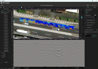
Adding a Background Image
Jul 02, 2026
Video tutorial
Applying Filters to GPR data
Jul 02, 2026
Video tutorial
Setting Velocity/Dielectric
Jul 02, 2026
Video tutorial
Correcting Time Zero
Jul 02, 2026
Video tutorial
Performing Wobble Removal
Jul 02, 2026
Video tutorial
Trimming GPR data
Jul 02, 2026
Video tutorial
Using the Bandpass Filter
Jul 02, 2026
Video tutorial
Performing Background Removal
Jul 02, 2026
Video tutorial
Adjusting Gain
Jul 02, 2026
Video tutorial
Performing Migration & Hilbert Transform
Jul 02, 2026
Video tutorial
Adding Tags to Data
Jul 02, 2026
Video tutorial
Drawing Objects
Jul 02, 2026
Video tutorial
Using the Data Analytics Tool
Jul 02, 2026
Video tutorial
Creating Deterioration Maps
Jul 02, 2026
Video tutorial
Creating Moisture Maps
Jul 02, 2026
Video tutorial
Creating Cover Maps
Jul 02, 2026
Video tutorial
Creating Condition Maps
Jul 02, 2026
Video tutorial
Exporting GPR data
Jul 02, 2026
Video tutorial
Exporting Interpretation Items
Jul 02, 2026
FAQ & common issues
Answers to commonly asked questions are covered in this section grouped by topic.
Licensing & accounts
›Is this license for one device, one user, or many users/devices?
Only one ID / password is provided, which can be used on any computer via the web, but two users cannot access it simultaneously. The standalone version, once installed and activated on a specific device, gets linked to that device and can only be used there. To use Insights on a different machine, it must be unlinked first — contact your local representative or email success@screeningeagle.com.
›Can I use the web and standalone versions at the same time?
No, only one version at a time. Trying to access both will display a session error and prevent the second one from running.
›What does the GPR Insights free trial offer?
The free trial includes every feature available in the paid subscription. Both the web and standalone versions are available during the trial.
›What happens if I don’t renew my subscription?
You will no longer have access to GPR Insights until you resubscribe. Your projects in the cloud remain stored.
›Is there an automatic time-out when idle?
Yes, the session automatically closes after 45 minutes of inactivity.
System & data
›Do I need a powerful computer to run GPR Insights?
No. To run the web version you only need an internet connection on any standard laptop or PC. The standalone version has recommended requirements. See Getting Started section for the full system spec.
›What is the maximum project size I can have?
Depends on your subscription tier: Advanced up to 12 GB, Pro up to 300 GB. The version you are using also matters. The web version performs optimally up to 12 GB, while the standalone limit depends on your device hardware.
›Is there a limit on total cloud storage?
Yes, per tier: Advanced 1000 GB, Pro 4000 GB (or 6000 GB for GM8000 users). The storage limit applies only to cloud storage. For the standalone version, only your local free disk space limits you.
Devices & data formats
›Does GPR Insights work with data from non-Screening Eagle / Proceq GPRs?
Yes. We support most formats from third-party manufacturers (such as .dzt, .dt) and common industry formats like SEG-Y. When creating a New project → From other, click “click here” to see the full list of supported formats.
›Can I use GPR Insights for any GP or GS data set?
Yes. When creating a new project from From Workspace, search for the data set you want to analyse and start visualising 2D and 3D views immediately.
›Does GPR Insights support GPS integration for mapping?
Yes. If your GPR system is connected to a positioning device, Insights can load the positioning information. For georeferenced data, you can overlay GPR slices on maps, precise localisation of detected features included.
›Does the software support multi-channel GPR systems?
Yes. The software supports multi-channel systems such as the GS9000, the GM8000, and other third-party MCGPR systems.
Export & collaboration
›How do I export processed data?
Raw and processed GPR data can be exported in a variety of formats — standard .png image files, .mp4 videos, and .xyza / .laz point clouds.
›Is there a way to export images in bulk?
Yes — you can export all images or an .mp4 video of all the B-scans or slices. The exported folder contains both the video file and the individual frames as image files. GeoTIFF images can also be exported in bulk.
›Can I share my projects with other team members?
Yes, projects created in GPR Insights can be shared with team members, provided they have a valid GPR Insights license.
›Can I collaborate on projects with colleagues in real time?
Yes. Share your session via a link to as many colleagues as you wish and work on the same project simultaneously.
Syncing & file management
›Will deleting files from the GS or GP app delete them from Workspace and from Insights?
If you remove files from the GS or GP app, they will indeed be removed from Workspace. However, projects already created in Insights based on those data files will not be deleted unless you delete the project itself in Insights.
›If I clear the cache in the standalone version, will my project be deleted?
The project is deleted from local disk, but it remains stored on the cloud and is accessible from the project list, provided it was previously uploaded.
›Are my projects automatically synced to the cloud from the standalone version?
No, projects are not automatically synced. You have to manually synchronise by sending changes to the cloud.
›If I delete locally stored project files, will I lose my project?
If the project has not been synced to the cloud and the locally stored files are deleted, the project will be lost.
Common issues & solutions
›Why am I getting “Encountered internal error. Please contact your administrator”?
This is most often linked to a temporary internet disconnection. Once your connection is stable, you will be able to use GPR Insights again.
›Why am I getting “Some features like import and export are unavailable right now”?
This can happen when the connection with the browser is temporarily lost. Refreshing the GPR Insights tab should reconnect and resolve it.
›I am trying to install GPR Insights-standalone on a different device but get an error. What do I do?
Each standalone license is linked to a specific device. Contact us to unlink your previous device, and you will be able to install on a new one.
›I cannot import third-party data. What format should the data be in the .zip folder?
When creating a New project → From other, a link in “click here” lists every supported data format and tells you which files are required based on the manufacturer.